
Understanding the variability of salinity in landscapes of the Upper Lachlan: Models for NSW
This presentation gave land managers a straightforward introduction to salinity, including where salt comes from, how it moves through the landscape and how it shows up on farms and in streams. It finished with Hydrogeological Landscapes (HGLs), a tool for identifying and managing salinity, and showed how to find soil and landscape information using eSPADE, a free online map for accessing soil and land information across NSW.
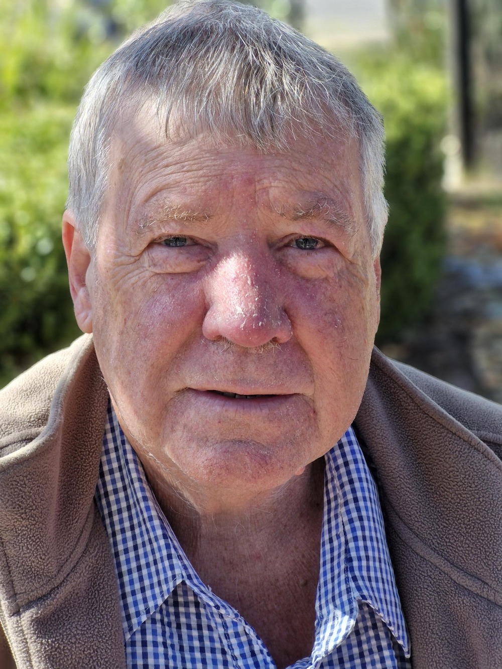
Presenter: Allan Nicholson
NSW Department of Climate Change, Energy, the Environment and Water (DCCEEW)
Allan brings over 30 years of Natural Resource Management experience, working with communities conducting research, extension and investigation programs at local, regional, state and national scales. Allan is recognised regionally and nationally for salinity expertise, giving advice at a state and federal level.
Information Resources - TBA
Understanding salinity on your property - start here:
- Look for changes in the landscape: Early signs can include bare or scalded areas, white surface deposits, waterlogging, changes in pasture species, barley grass or spike rush, and declining or dying vegetation.
- Check the landscape setting: Salinity is strongly influenced by geology, soils, landform, regolith and water movement. A site cannot be understood from surface symptoms alone.
- Use the available mapping: Use eSPADE for soil, salinity and Hydrogeological Landscape information; SEED for HGL datasets and reports; and MinView when you need to explore NSW geology.
- Test rather than guess: Visual indicators are a starting point. Soil and water testing, including electrical conductivity (EC), can help confirm whether salinity is present and indicate its severity.
- Match the response to the landscape: Management needs to address where water and salt enter, move through and leave the landscape. Actions can include perennial pastures, grazing management, revegetation or interception plantings, riparian planting and salt-tolerant systems, depending on the site.
Information resources:
- eSPADE - NSW soil and land information - View soil profiles, soil landscapes, salinity information and Hydrogeological Landscape layers.
- Hydrogeological Landscapes of NSW and the ACT - SEED - HGL boundaries, descriptions and related salinity-hazard information for mapped areas.
- NSW salinity locations and mapping - NSW Government overview of salinity, HGL mapping and management resources.
- Book 1 Dryland Salinity: The Basics - This booklet is designed to help you understand the basic processes and impacts of dryland salinity.
- Book 2 Dryland Salinity: Identifying Saline Sites - Practical guide to recognising visual signs of salinity and using soil and water tests to confirm and assess a site.
- Dryland salinity - causes and impacts - NSW DPI overview of salt sources, groundwater recharge and discharge, and the development of dryland salinity.
- MinView - Interactive NSW Government map for viewing and searching geology and other geoscientific information.
Webinar Q&A
These questions were discussed during the webinar and live Q&A.
Landholder questions answered:
What should I look for if I think I may have salinity on my property?
Start with visual changes. Allan pointed to bare areas or white precipitates, changes in plant species or paddock colour, barley grass, spike rush, tree decline and waterlogging. These indicators are not the end of the diagnosis, so follow them with soil or water testing to understand the scale of the salinity.
Can I test water in a dam or flowing creek for salinity?
Yes. Allan recommended using a small electrical conductivity (EC) meter to test streams and other water sources. Monitoring water can help show how salty it is and, when repeated over time, can add to your understanding of how the property and catchment are behaving.
Where does the salt come from?
Salt is naturally present in Australian landscapes. Sources discussed in the webinar included salt delivered through aerosols and dust, salt held within geological materials and salt mobilised through water movement. The key issue is not simply whether salt exists, but how water moves through the landscape and mobilises stored salt.
Why are some nearby landscapes much saltier than others?
The webinar emphasised that geology, soil, landform and regolith control the movement and storage of water and salt. Even broadly similar geology can behave differently where soils, weathering depth or landform change. This is why HGL mapping combines several landscape factors rather than relying on one layer alone.
What is a Hydrogeological Landscape (HGL)?
An HGL is a way of grouping areas with similar landscape “plumbing”. It brings together geology, soils, landform, regolith and climate to help explain salinity processes, identify hazards and guide where different management actions are most appropriate.
How was salt managed naturally before European settlement?
Allan explained that salt was already part of the natural landscape. Under native vegetation there was a dynamic balance between rainfall, evaporation and plant water use. Clearing and agricultural land-use change can increase groundwater recharge, allowing more water to move through salt stores and mobilise salt into soils, discharge areas and streams.
Is funding still available to help producers manage salinity?
Allan said there is now very little funding dedicated specifically to salinity compared with earlier programs. However, salinity outcomes can still be supported through programs focused on soils, riparian vegetation, grazing management and related land-management work. Funding availability changes, so check current opportunities with Local Land Services and relevant NSW programs rather than assuming a dedicated salinity stream exists.
How could climate and land-use change affect salinity?
Allan described land use and climate as intrinsically linked to salinity. He noted increases in salinity in some NSW cropping landscapes following land-use change and wet periods, and said changing rainfall patterns and high-intensity rainfall can create different regional and local effects. For longer-term planning, the discussion emphasised understanding the whole landscape system and considering resilient vegetation mixes and future interception needs.
What management actions can help?
There is no single salinity treatment for every site. Examples discussed included perennial pastures, grazing management, salt-tolerant pasture systems, maintaining or improving native vegetation, interception and riparian planting, and adjusting management to the particular recharge, discharge and landscape setting. The HGL approach is intended to help put the right action in the right part of the landscape.
Are there actions that can make salinity worse?
Yes. In the example discussed for an upland closed-basin landscape, Allan cautioned against actions that increase infiltration or hold more water in the system, including deep ripping in that setting and some dam construction. The key point is site specificity: understand the landscape plumbing before applying a treatment.
Stay connected to the rivers you love
Sign up to our monthly email newsletter and be the first to see inspiring stories, practical resources, and ways to make a real difference for our waterways and the native species that depend on them.
Be a part of our community 💚

The ARRC acknowledges the Country we live on
We acknowledge and respect Aboriginal and Torres Strait Islander Peoples as the Traditional and Continuing Custodians of Country. We respect and learn from Elders past, present and emerging, valuing their knowledge, insights, cultures and connections to the waterways we love and care for.
Our Reflect Reconciliation Action Plan promotes a reconciled Australia by supporting and empowering Aboriginal and Torres Strait Islander voices and experience in the work we do to restore and protect our waterways. We make every effort to involve First Nations collaboration and partnerships in all our on-ground projects.
Support our work
There are multiple ways to show your support for what we do.
Choose your own adventure.
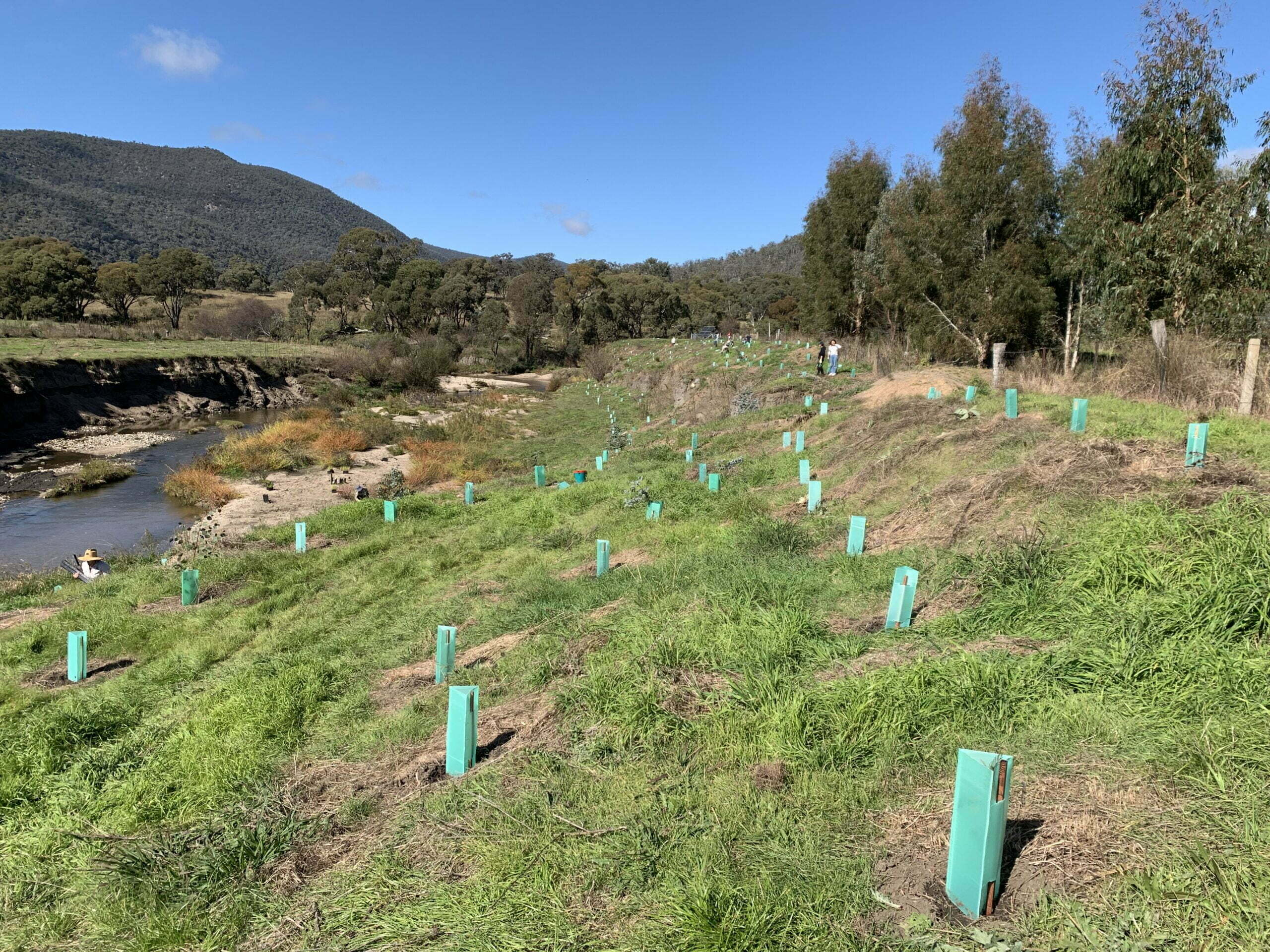
Every donation makes an impact.
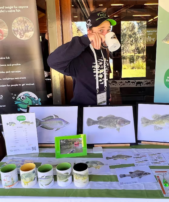
100% of proceeds go directly towards our work restoring rivers.
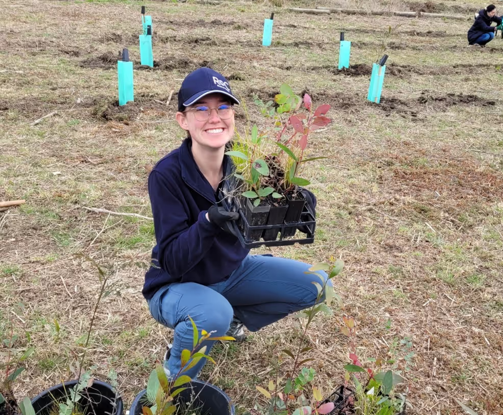
Join us at an upcoming planting day or community event.
Collaborate with us on a range of projects, working to restore our rivers together.
Work with us to achieve sustainability goals and make a positive environmental impact.