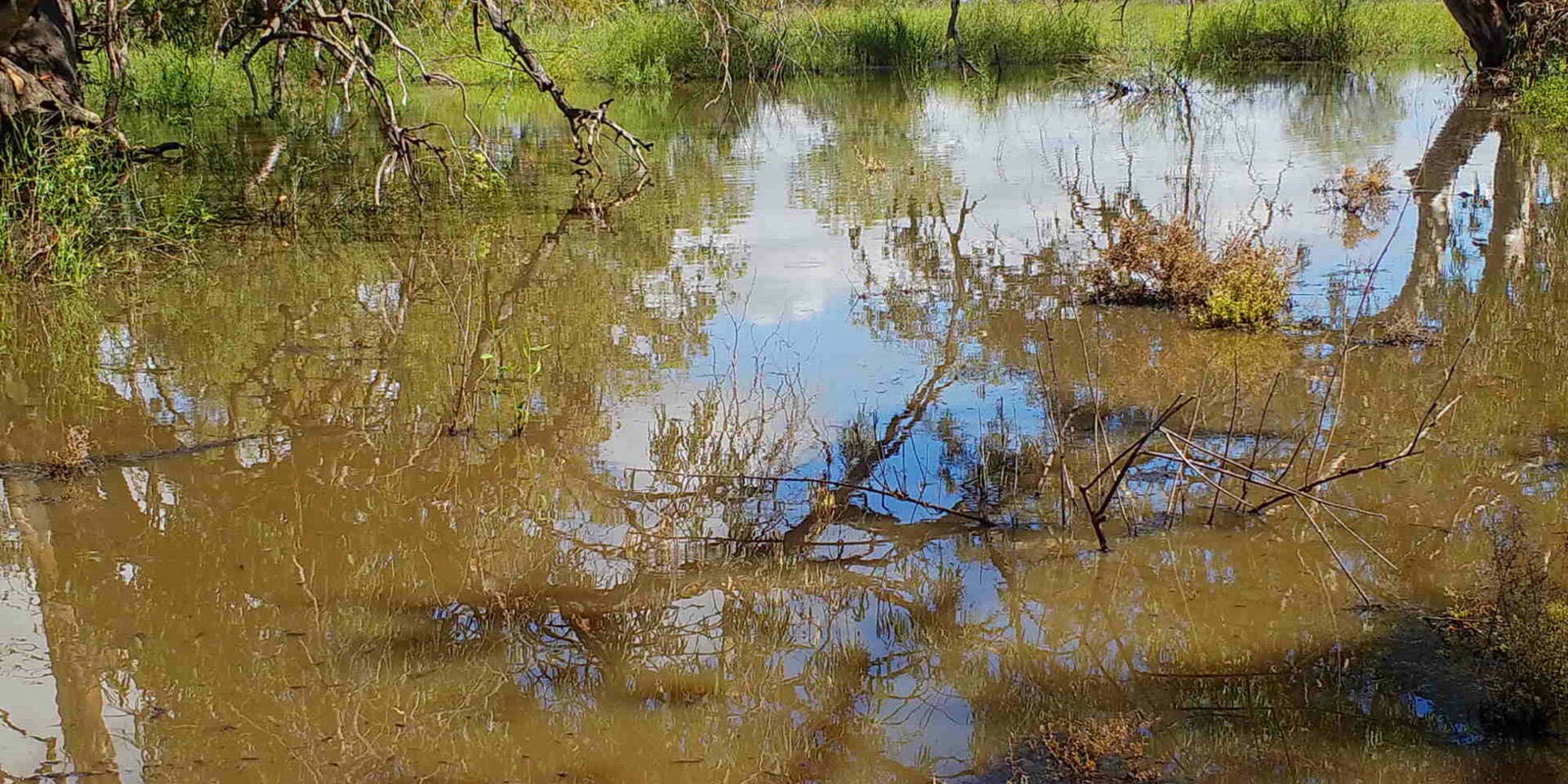
Recent rain across Australia has brought welcome relief after such hot and dry conditions. To capitalise on the rain, in February the Commonwealth Environmental Water Office (CEWO) released water for the environment into the Lower Balonne River. This water is now flowing through to the Narran Lakes, a Ramsar (Internationally significant wetland) listed site for waterbirds. The Narran Lake Nature Reserve is situated in the north-west of New South Wales, approximately 75 kilometres north-west of Walgett and 50 kilometres north-east of Brewarrina.
This beautiful Ramsar site contains two open water areas, Clear Lake and Back Lake. Each year the flows into the Narran wetlands are highly variable, sometimes they are full, partially full or dry. When full, Back and Clear Lakes will usually hold water for approximately four-six months, and this is when waterbirds flock to the area. Narran Lakes is a renowned haven for birds, with over 100 bird species being recorded there at times. As Clear Lake fills, small wading birds have been seen foraging along its edge, along with herbivorous waterbirds, including swans. Clouds of budgies have also been observed and more waterbirds are expected to appear, in coming weeks. The photos below show the recent flows going into Clear Lake.

Clear Lake on 3rd March 2020. Photo credit: CEWO

Clear Lake on 6th March 2020. Photo credit: CEWO
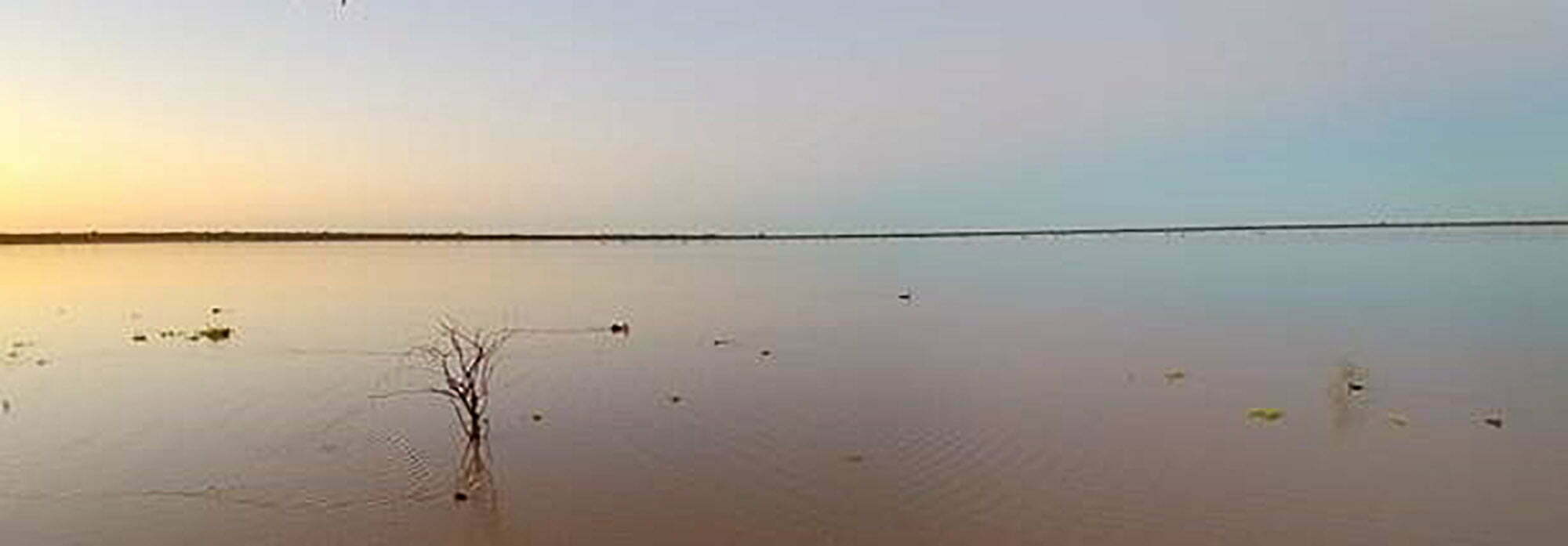
Clear Lake on 19th March 2020. Photo credit: CEWO
Researchers have been tracking the impact of the water and so far vegetation is responding well, both in and out of the water. The photo below shows how the Narran Lakes are transformed with the addition of water – that green is the vegetation coming to life and supporting vital food, shelter and breeding habitat.
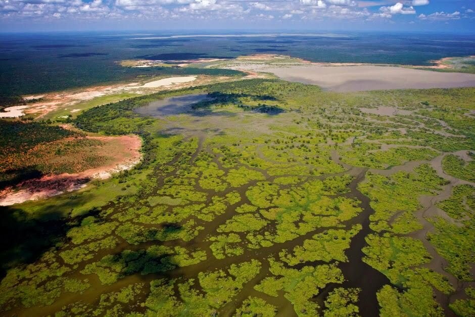
Narran Lakes in full bloom. Photo credit: NSW Office of Environment and Heritage
Traditional Owners are working alongside researchers to monitor the flow, with Rhonda Ashby, a Joint Management Committee member commenting that:
By working together it is hoped that the scientific understanding of what is happening as a result of water being delivered to the Narran Lakes can be enriched through Traditional Owner insights.
Meet Laurie – she is also tracking the flow…
‘Laurie’ is an adult female straw necked Ibis is also tracking the flow. In the photo below Dr Heather McGinness is putting a small (but very expensive) satellite tracker onto Laurie. There are strict rules about how much the trackers weigh and how they are fitted to the bird to ensure that they don’t hurt or restrict Laurie as she goes about her daily life.
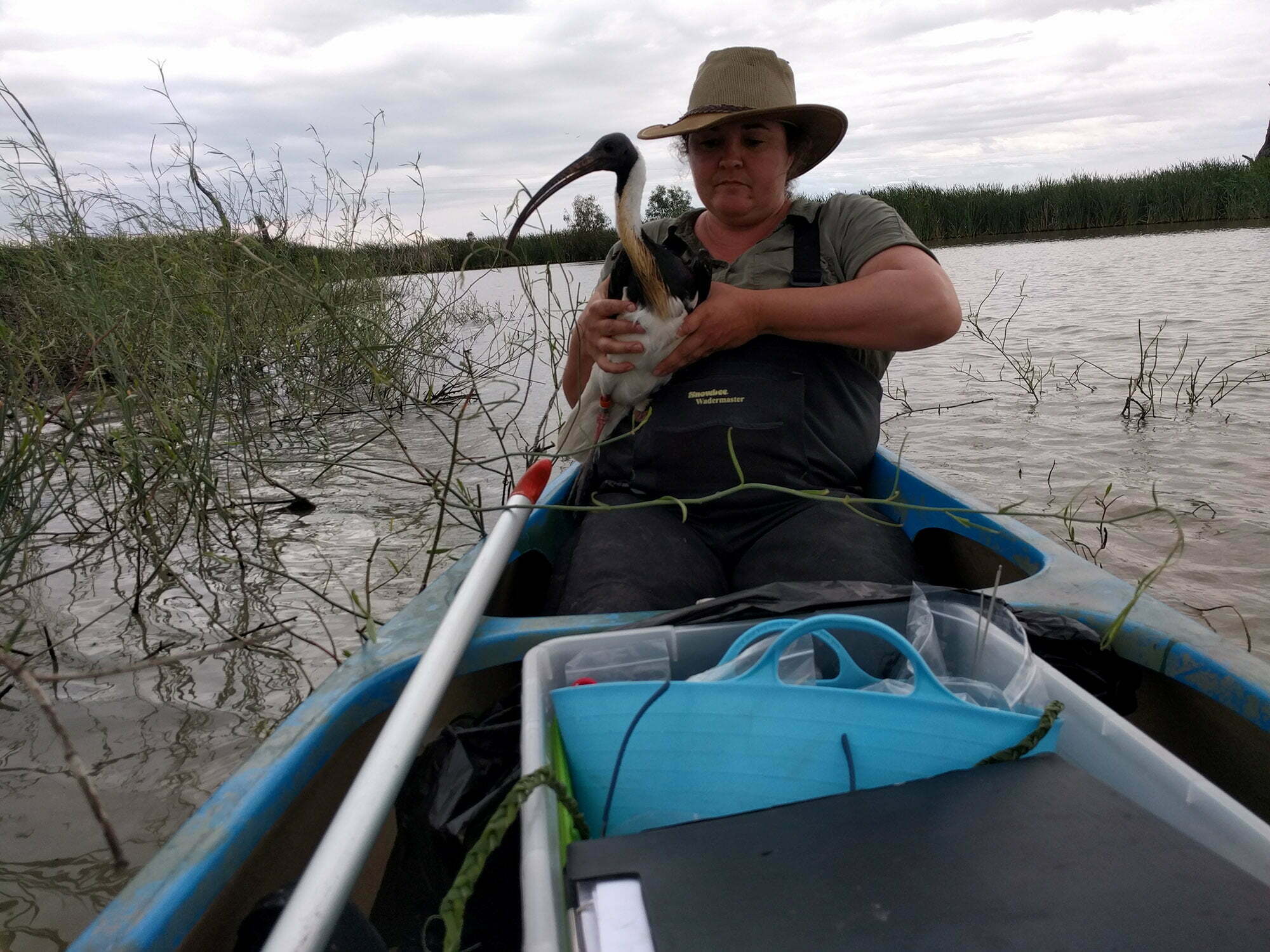
Dr Heather McGinness putting a satellite tracker on Laurie. Photo credit: CSIRO
Once released with the tracker Heather and her team can watch where she goes, with the map below showing what the incredible distances she covers. At the end of February, she left the southern Basin and began heading north. On the 7th of March she crossed the Barwon and reached the Narran Lakes. Laurie then continued west, to the Warrego and Paroo catchments, and we are continuing to monitor Laurie’s movements to see if she returns to Narran Lakes.
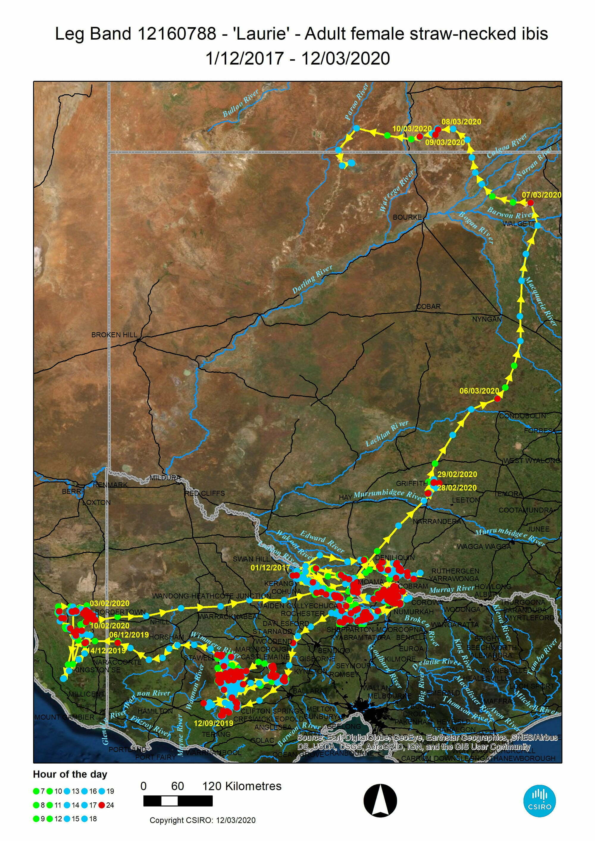
Laurie’s flight path. Photo credit: Office of Environment and Heritage
Laurie is a bird that really gets around, as the satellite map shows. In the video below Heather talks about why we are tracking waterbirds.
These birds are really amazing and you can continue to track Laurie’s movements on the Waterbirds Australia facebook page: @ColonialWaterbirdScience.
Keep up to date:
More information about the Narran Lakes can be found here on the CEWO website – click here
The Commonwealth Environmental Water Office is working in partnership with scientists across the Murray-Darling Basin to help us understand how fish, birds, vegetation and river connectivity are responding to environmental watering through a new initiative called Flow – Monitoring, Evaluation, Research. If you are interested, we encourage you to stay connected.
Error: Contact form not found.
